| IN A NUTSHELL |
|
In the remote wilderness of Russia’s Kamchatka Peninsula, a captivating natural phenomenon unfolded in 2023 when the Klyuchevskoy volcano erupted, showcasing a striking display of twin lava flows. This event not only mesmerized onlookers with its visual spectacle but also served as a reminder of the immense power residing within the Earth’s crust. Captured by NASA’s Aqua satellite, the eruption created a 1,000-mile-long plume of smoke, painting a vivid picture of nature’s fury. As we delve into the details of this event, we uncover the significance of Klyuchevskoy’s activity in the context of global volcanism and its implications on our understanding of volcanic behavior.
The Dramatic Eruption of Klyuchevskoy Volcano
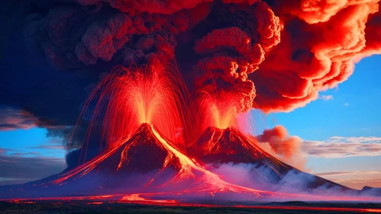
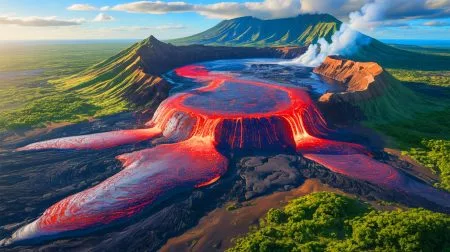
The Klyuchevskoy volcano, also known as Klyuchevskaya Sopka, is a towering stratovolcano standing at 15,597 feet above sea level. Located in Russia’s Kamchatka Peninsula, it is the tallest volcano in both Asia and Europe. In 2023, this majestic mountain erupted with spectacular force, releasing twin lava flows that gave the appearance of demonic horns atop its peak. NASA’s Aqua satellite captured this dramatic event on November 1, 2023, highlighting the enormity of the eruption plume that extended over 1,000 miles across the Pacific Ocean.
The eruption was part of an active phase that lasted from June 22 to December 31, 2023. During this period, Klyuchevskoy unleashed not only lava and ash but also toxic gases into the atmosphere, impacting air traffic in the region. The eruption plume reached an astonishing height of 7.5 miles above the Earth’s surface, underscoring the significant environmental impact such volcanic events can have. The satellite image, enhanced using infrared radiation, provides a stunning visual representation of the eruption, with a blueish hue distinguishing the clouds from the volcanic plume.
The Kamchatka Peninsula: A Hotspot of Volcanic Activity
Klyuchevskoy is one of six closely grouped volcanoes on the Kamchatka Peninsula, a region renowned for its volcanic activity due to its location along the Pacific “Ring of Fire.” This ring is a 25,000-mile-long arc that hosts two-thirds of the world’s terrestrial volcanoes and experiences around 90% of all global earthquakes. The Kamchatka Peninsula, therefore, serves as a natural laboratory for studying volcanic behavior and tectonic activity.
Within a 20-mile radius of Klyuchevskoy, other notable volcanoes like Bezymianny, Ushkovsky, Tolbachik, Zimina, and Udina are found. These mountains have largely formed within the last 10,000 years, making them relatively young in geological terms. Bezymianny, once thought to be extinct, surprised scientists with an eruption in 1955 and has since been active multiple times. This concentration of volcanic activity provides valuable insights into the dynamic processes shaping our planet.
Understanding the Global Impact of Volcanic Eruptions
The eruption of Klyuchevskoy is not an isolated event but part of a broader pattern of volcanic activity with potential global implications. When large volcanoes erupt, they release ash and gases into the atmosphere, which can influence climate patterns and air travel. The release of sulfur dioxide, for example, can lead to the formation of aerosols that reflect sunlight, potentially cooling the Earth’s surface.
Volcanic eruptions also have significant impacts on local ecosystems and human populations. The ash fallout can damage crops, contaminate water supplies, and pose respiratory health risks. The 2023 eruption of Klyuchevskoy serves as a stark reminder of these potential hazards and highlights the importance of monitoring volcanic activity to mitigate risks and inform preparedness strategies. The data collected from such eruptions contribute to our understanding of volcanic hazards and their broader environmental impacts.
The Role of Technology in Volcanic Monitoring
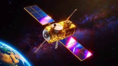
Technological advancements have revolutionized the way we monitor and study volcanic activity. The use of satellites, such as NASA’s Aqua, allows for real-time observation of eruptions from space, providing crucial data on plume composition, height, and dispersion. This information is vital for forecasting the potential impact of volcanic events on climate and air traffic.
Ground-based monitoring systems, including seismographs and gas sensors, complement satellite data by providing detailed insights into a volcano’s behavior before, during, and after eruptions. Together, these technologies enhance our ability to predict eruptions and assess their potential consequences. The integration of satellite imagery with ground observations is critical for developing effective volcanic risk management strategies and ensuring the safety of communities living near active volcanoes.
As we continue to study volcanic phenomena like the Klyuchevskoy eruption, we gain a deeper appreciation for the powerful forces shaping our planet. These natural events challenge us to improve our predictive capabilities and develop strategies to mitigate their impacts. How can advances in technology further enhance our understanding and management of volcanic risks, ensuring better preparedness for future eruptions?
Did you like it? 4.6/5 (30)


Wow, those devil horns are straight out of a sci-fi movie! 😮
How often does the Klyuchevskoy volcano erupt like this?
Are these eruptions affecting the local wildlife in the Kamchatka Peninsula?
Fantastic article! Thanks for keeping us informed about Mother Nature’s fiery tantrums! 🔥
Does this mean flights in the area are grounded? ✈️
Is it normal for smoke to reach 1,000 miles away? Seems unbelievable!
I’m curious about the impact on global climate—any long-term effects expected?
Love the use of technology in monitoring these eruptions! Go NASA! 🚀
This article made me appreciate the power of nature even more. Thank you!
Why are volcanoes so active in the Pacific “Ring of Fire” specifically?
Absolutely terrifying yet mesmerizing at the same time. Nature is incredible.
Can tourists safely visit the Kamchatka Peninsula during such eruptions?
Looks like something straight out of Dante’s Inferno!
Is this the same volcano that erupted in the ’50s, or is that another one?
How can satellite imagery help us predict future eruptions better?
Spelling mistake in the article: it’s “eruption,” not “eruptionn” in the third paragraph.
What’s the local government doing to ensure the safety of nearby communities?
Has there been any impact on the global airline industry due to this event?
I hope the scientists can learn a lot from this eruption.
Is there a way to predict when the next eruption might happen?
Interesting read, but the article could use more pictures! 📸
Are there any documentaries covering this eruption? Would love to see more visuals.
Why aren’t these eruptions more widely covered in the news?
Can volcanic gases really cool the Earth? Sounds like something from a movie. 🤔
Feeling grateful for the technology that allows us to study such natural events!
Any chance this could lead to new land formations in the future?
Is it safe for researchers to study the volcano up close?
Ok, you publish this article then a massive quake hits Kamchatka. Coincidence? Are you sure?